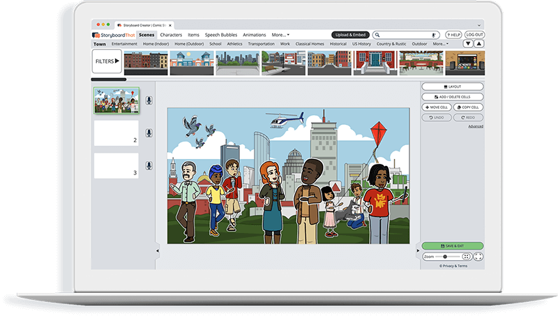
Activity Overview
The Northeast’s climate varies from season to season. The winters are long, cold, and snowy, while the summers are humid, hot, and sunny. The fall is the time of year when the leaves change color and the weather gets cooler, and the spring is a time for milder weather and the blooming of flowers. It is truly wonderful to experience such a variety of weather at any given time! For this activity, students will create a 4 cell spider map highlighting each season of the Northeast region.
Template and Class Instructions
(These instructions are completely customizable. After clicking "Copy Activity", update the instructions on the Edit Tab of the assignment.)
Due Date:
Objective: Create a 4 cell storyboard explaining each season of the Northeast.
Student Instructions
- Click “Start Assignment”.
- Write a heading for each aspect of the climate you've selected.
- Create an illustration that represents each heading using appropriate scenes, characters, and items.
- Write a short summary of each heading in the space below the illustration.
Lesson Plan Reference
Rubric
(You can also create your own on Quick Rubric.)
| Proficient | Emerging | Beginning | |
|---|---|---|---|
| Explanation | There are at least three cells in the storyboard. Titles and descriptions accurately depict the climate. | There are two cells in the storyboard. Titles and descriptions accurately depict the climate. | One cell is correct and the title and description are accurate and complete. |
| Illustrations | The illustrations represent the descriptions using appropriate scenes, characters and items. | The illustrations relate to the descriptions, but are difficult to understand. | The illustrations do not clearly relate to the descriptions. |
| Evidence of Effort | Work is well written and carefully thought out. | Work shows some evidence of effort. | Work shows little evidence of any effort. |
| Conventions | Spelling, grammar, and punctuation are mostly correct. | Spelling, grammar, and punctuation are somewhat correct. | Spelling, grammar, and punctuation are mostly incorrect. |
How to Teach Resource Conservation and Environmental Stewardship
Introduction to Northeast Region Natural Resources
Start the lesson by introducing the Northeast region and its natural resources. Explain the importance of resource conservation and environmental stewardship in this specific region, emphasizing the unique challenges and opportunities. Discuss the potential impact of resource depletion and environmental issues on the Northeast.
Exploration of Key Concepts
Present key concepts related to resource conservation and environmental stewardship specific to the Northeast region. Include topics such as forest management, fisheries conservation, and the impact of urbanization on the environment. Use visuals, case studies, and interactive activities to engage students and help them understand the significance of these concepts in the Northeast.
Classroom Activity - Sustainable Practices in the Northeast
Organize a classroom activity where students brainstorm and discuss sustainable practices that are relevant to the Northeast region. Examples could include sustainable forestry practices in the Adirondack Mountains, efforts to protect fisheries in the Atlantic Ocean, or initiatives to combat pollution in urban areas. Encourage group discussions and the development of actionable ideas. Have each group present their sustainable practices and discuss how they address specific Northeastern resource conservation and environmental stewardship issues.
Environmental Stewardship Project for the Northeast
Assign students an environmental stewardship project specific to the Northeast region. Examples could include creating a plan for reforestation in the region, proposing policies for sustainable fishing, or developing a community-based clean-up initiative. Provide guidance and resources for research and project planning, focusing on the Northeast's unique challenges. Encourage students to present their projects to the class or school community, highlighting how their projects contribute to resource conservation and environmental stewardship in the Northeast.
Frequently Asked Questions about Northeast Region Climate
What interactive activities can be integrated into storyboards and worksheets to help students understand and analyze the formation and effects of nor'easters in the Northeast region?
Interactive activities within storyboards and worksheets can engage students in understanding nor'easters. Consider incorporating case studies of past nor'easter events and encouraging students to track the development and impacts using provided data. Interactive maps can allow students to simulate the path and intensity of a nor'easter. Additionally, group discussions and debates can help students analyze the factors leading to nor'easter formation and discuss their effects on the region's climate and daily life.
How can storyboards and worksheets effectively illustrate the variations in temperature and weather patterns across the four seasons in the Northeast region?
Storyboards and worksheets can vividly depict seasonal variations. Use climate graphs or charts that display temperature changes throughout the year, with different colors representing each season. Include images or symbols of season-specific weather conditions, such as snowflakes for winter and leaves for fall. Label the axes with months to provide a clear timeline. Encourage students to add personal observations of seasonal changes to enhance their understanding.
How can storyboards and worksheets encourage students to analyze the role of the Atlantic Ocean in shaping the climate of the Northeast, and how can this impact be visualized?
To explore the Atlantic Ocean's role in shaping Northeast climate, incorporate visuals such as arrows indicating prevailing wind patterns and ocean currents on maps. Explain how the ocean moderates temperature extremes, leading to milder winters and cooler summers near the coast. Include diagrams illustrating the influence of the Gulf Stream on regional temperatures. Engage students in discussions and questions that prompt them to analyze how proximity to the Atlantic affects weather patterns and climate, fostering a deeper understanding of this impact. These answers provide guidance on incorporating interactive activities, visual representations, and analytical discussions into storyboards and worksheets for teaching about the climate of the Northeast region, enhancing students' comprehension of complex weather phenomena and climate factors.
More Storyboard That Activities
US Regions: Northeast
Pricing for Schools & Districts
© 2024 - Clever Prototypes, LLC - All rights reserved.
StoryboardThat is a trademark of Clever Prototypes, LLC, and Registered in U.S. Patent and Trademark Office


