Activity Overview
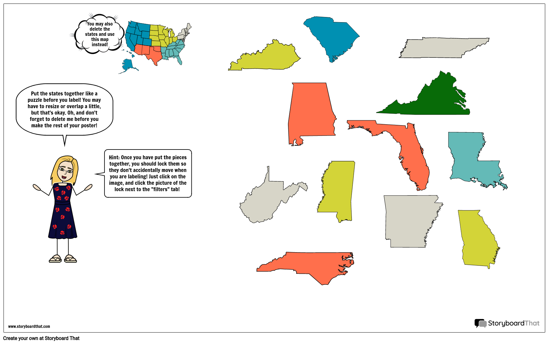
It is important for students to know the locations of the states on a map, and the capital cities of each state. Filling out a blank map or creating a map from scratch helps students retain information in a more concrete way. For this activity, students will create a poster that shows the Southeast states, capitals, and two major bodies of water. Students will also add illustrations that apply to the Southeast. Students may use a map of the United States, or use the individual states template provided to create their own map.
Template and Class Instructions
(These instructions are completely customizable. After clicking "Copy Activity", update the instructions on the Edit Tab of the assignment.)
Due Date:
Objective: Create a map of the Southeast region, including the state names, capital cities, and illustrations.
Student Instructions
- Click “Start Assignment”.
- Fill in the blank map of the Southeast, including states and capitals OR create a map of your own using the individual states provided. Use the "search" bar to find regions and states.
- Add illustrations throughout the map as desired to make it more colorful and interesting.
Lesson Plan Reference
How To Utilize the Map for Interactive Activities in Class
Introduce Basic Maps
Introduce basic maps to students and discuss the basic elements of a map. Give a brief introduction on how students can pinpoint locations on the maps using latitudes and longitudes. Teachers can also discuss how maps can be used while traveling, the old profession of map makers, and their significance for ancient travelers.
Make Comparisons
Compare present-day maps with those from the past. Describe the evolution of time and the impact of location on historical events. Students can take an old and new map of the Southeast region, compare them side by side, and analyze which historical events played a major role in the evolution of this map and what changes the map has through.
Take Interactive Tests
Use the map to quiz students on geographical knowledge, national capitals, famous sites, or any other pertinent details. Introduce students to the concept of latitudes and longitudes. Give students particular latitude and longitude coordinates or place names, and ask them to find and mark those locations on the map.
Use Puzzles
A map can be projected or printed, and then divided into puzzle-like pieces. Students can use problem solving and critical thinking skills to solve these puzzles. Teachers can also create different levels of puzzles depending on the intellectual abilities of students. This activity can be treated as a competition and students with the highest number of puzzles solved can get a small incentive.
Encourage Critical Thinking
Maps are a great way to improve critical thinking skills. Students can use maps related activities to learn more about new aspects of the states, explore their geographical history, and connect with other concepts.
Frequently Asked Questions About Southeast Region Map
What distinguishing geographical characteristics characterize the Southeast Region?
The Appalachian Mountains, the Gulf of Mexico, the Atlantic Coast, the Everglades, and the Mississippi River are just a few of the region's unique geographical features. These regions can be located by the students on a map of the Southeast region easily.
What are famous visiting sites in the region?
The Kennedy Space Center, the Great Smoky Mountains, the Everglades National Park, the French Quarter in New Orleans, Charleston, and many other locations are noteworthy landmarks. These sites are an important part of the tourism culture in the region. Students can pinpoint the states these sites are present in on the map.
How has geography impacted the Southeast Region's culture and economy?
The culture and economics of the Southeast Region have been significantly influenced by its location. For instance, coastal regions are heavily influenced by the sea, whilst fertile plains have contributed to agriculture.
More Storyboard That Activities
US Regions: Southeast
Pricing for Schools & Districts
© 2024 - Clever Prototypes, LLC - All rights reserved.
StoryboardThat is a trademark of Clever Prototypes, LLC, and Registered in U.S. Patent and Trademark Office


