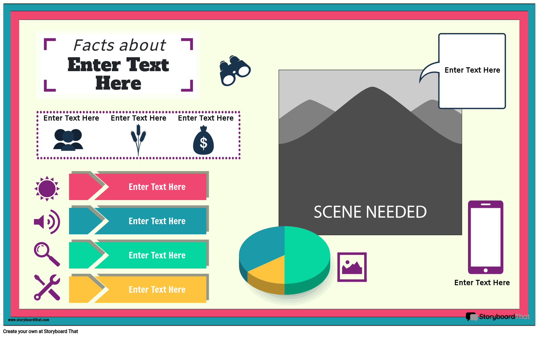
Customize Geography Infographic Templates
If you're assigning this to your students, copy the poster to your account and save. When creating an assignment, just select it as a template!
What are Geographic Infographics?
Geographic infographics are visual representations of geographical data and information designed to convey complex geographic concepts, statistics, and trends in a clear and concise manner. These infographics utilize various visual elements such as maps, charts, graphs, and icons to present information related to cities, countries, climate change, geography, and global statistics.
Geographic infographics can cover a wide range of topics, including:
- Cities: They can provide insights into urban landscapes, population demographics, economic activity, and cultural diversity within cities. These infographics may include maps, population pyramids, and bar charts.
- Climate Change: Geographic infographics can visualize the impacts of climate change, such as rising temperatures, changing precipitation patterns, and the shrinking of glaciers. They often use maps, line graphs, and icons to convey this data.
- Countries: These infographics may focus on specific countries or regions, showcasing country facts or data related to their geography, demographics, economy, politics, and culture. Maps, flags, and charts are commonly used in such infographics.
- Geography: Infographics about geography can cover topics like landforms, nature, ecosystems, and celestial bodies such as space, planets, stars, and galaxies. They use maps, diagrams, and illustrations to explain geographical concepts.
- Globe: Some geographic infographics provide a global perspective, addressing worldwide issues, trends, or phenomena. They often feature world maps and global statistics.
- Statistics: Geographic infographics rely on statistical data to present trends, comparisons, and patterns. They use various types of charts and graphs to make statistical information more accessible.
A geography infographic serves as beneficial educational tools, helping students and enthusiasts alike to better understand and appreciate the complexities of the world's geography. They can be used in classrooms, presentations, research, and various forms of media to communicate geographic information effectively.
What Makes a Great Geographic Template?
A great geographic infographic is a powerful educational tool that can captivate students and effectively convey complex geographical information. Here are the key elements and characteristics that distinguish exceptional geographic infographics from the rest:
- Clarity and Simplicity: Exceptional geographic infographics are clear and easy to understand. They use straightforward language and avoid jargon, ensuring that the information is accessible to a wide audience, including students.
- Visual Appeal: They are visually appealing and use a well-thought-out design. This includes the use of colors, fonts, and images that complement the content.
- Relevant Content: A great geography poster template contains relevant and up-to-date content. They focus on key geographical concepts, regions, or phenomena that align with the educational objectives.
- Customization: Our geographic infographic template is fully customized. Whether it's adding or removing content, changing colors, or incorporating new images, customization ensures relevance.
- Downloadable Resources: You can easily download our resources and integrate them into lessons and for students to access for reference or project work.
- High-Quality Images: The use of high-quality images is crucial. Whether it's pictures, maps, or diagrams, images should be sharp and clear.
- Alignment with Curriculum: Exceptional geographic infographics align with educational curricula. They cover topics and concepts that are relevant to what students are learning in geography classes, ensuring that the infographic enhances the curriculum.
10 Ways to Incorporate a Geographic Infographic Into Your Lesson Plans
Incorporating a geographic infographic into your lesson plans can be a dynamic way to engage students in the world of geography. These visual tools, such as geographic templates, layouts, and presentation templates, provide a wealth of opportunities to make your lessons more interactive and informative. Let's explore some practical ideas and examples for seamlessly integrating geographic infographics into your classroom activities.
- Visualize Geography Concepts: Use geographic templates to create infographics that visualize geography concepts like landforms, climate zones, and population distribution. For instance, a colorful map poster can help students understand different climate regions.
- Historical Geography Timelines: Consider designing historical timeline infographics to illustrate the historical development of geographical regions. Include key events, explorations, and significant changes in geography over time.
- Country Profiles: Assign students a specific country and have them create infographic profiles. Use a geography infographic template to show information such as the country's location, capital, population, and interesting geographical features.
- Comparative Analysis: Encourage critical thinking by having students compare and contrast geographic data using infographics. They can explore similarities and differences between countries or regions.
- Environmental Impact: Illustrate the environmental impact of human activities on geography. Create infographics that display data on deforestation, urbanization, or climate change and discuss their consequences.
- Geography Quizzes and Challenges: Develop interactive quizzes and challenges using geographic infographics. Test students' knowledge of capitals, landforms, or flags with visually engaging quizzes.
- Current Events Infographics: Stay updated with current events by creating geographic layouts that highlight geographical aspects of news stories. Discuss how geography influences global events.
- Student Projects: Encourage students to take the reins and design their own geography presentation as part of project-based learning. Use a geography presentation template to show how to structure their infographics effectively.
- Interactive Geography Games: Transform a geography infographic template into interactive games and activities. Incorporate elements like puzzles or interactive maps to make learning geography fun.
- Geographical Storytelling: Use a geographic template to tell geographical stories. This could involve narrating the journey of a famous explorer, the formation of a landform, or the impact of migration.
These practical ideas and examples empower both teachers and students to explore the diverse and fascinating world of geography through engaging visual aids. With geographic layouts, templates, and resources at your disposal, you can create an enriching educational experience for your classroom.
How to Make a Geographic Infographic Poster
Choose One of the Premade Templates
We have lots of amazing templates to choose from. Take a look at our colorful example for inspiration!
Click on "Copy Template"
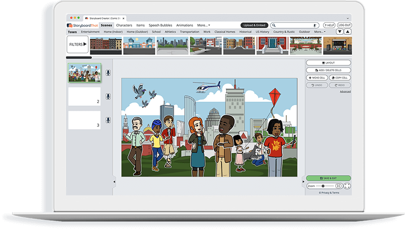
Once you do this, you will be directed to the storyboard creator.
Give Your Poster a Name!
Be sure to call it something related to the topic so that you can easily find it in the future.
Edit Your Poster
This is where you will include details, text, images, and make any aesthetic changes that you would like. The options are endless!
Click "Save and Exit"
When you are finished with your poster, click this button in the lower right hand corner to exit your storyboard.
Next Steps
From here you can print, download as a PDF, attach it to an assignment and use it digitally, and more!
Happy Creating!
Frequently Asked Questions about Geographic Infographic Posters
What are geographic templates?
Geographic templates are pre-designed layouts and formats used to create visual aids, such as geography infographics or posters. They provide a structured foundation for presenting geographic information effectively.
How can I use geography infographic templates?
You can use geography infographic templates to create engaging visuals for educational purposes. Simply customize the template with relevant information, images, and data to suit your lesson plans or classroom presentations.
Are geography poster templates available for download?
Yes! Our geography poster templates are available for download online. This makes it convenient for educators to access and use them in their teaching materials or lesson planning.
Introductory School Offer
ONLY$500
- 1 School
- 5 Teachers for One Year
- 1 Hour of Virtual PD
30 Day Money Back Guarantee • New Customers Only • Full Price After Introductory Offer • Access is for 1 Calendar Year
© 2025 - Clever Prototypes, LLC - All rights reserved.
StoryboardThat is a trademark of Clever Prototypes, LLC, and Registered in U.S. Patent and Trademark Office


