Activity Overview
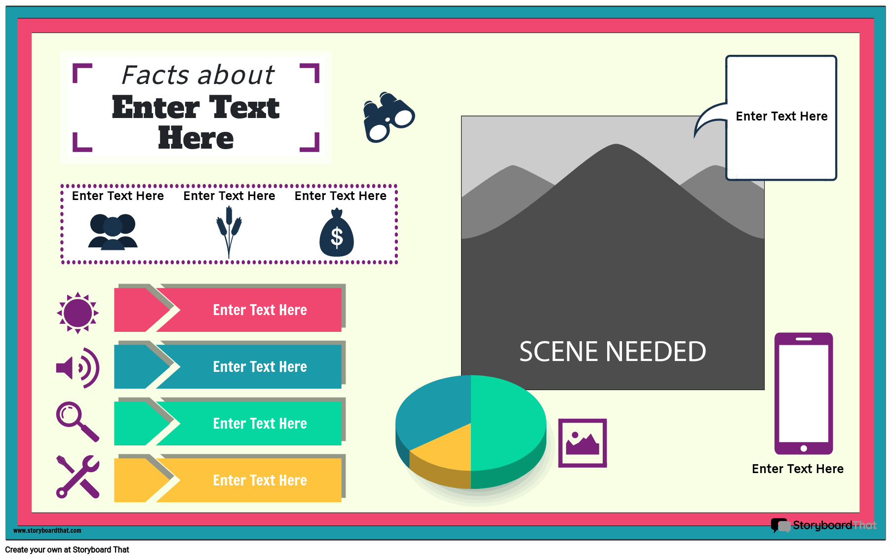
Students can enhance their understanding of the book A Long Walk to Water by researching the country of Sudan or Ethiopia or the African continent as a whole and creating a beautiful and informative infographic! By learning more about the rich diversity of geography, languages and cultures in the vast continent of Africa, students can have a better understanding of the characters, their motivations, and the story as a whole. Students could also highlight the journey Salva took within their map.
In this activity, students will conduct research using school resources and display what they learned with an infographic. Teachers may choose to provide students with a graphic organizer to help students keep track of their research. These posters can be printed out and hung around the room or school. Students could also project their posters onto a screen and give a presentation about their findings to the class!
For more templates to add to this activity, check out our geography infographic templates!
Template and Class Instructions
(These instructions are completely customizable. After clicking "Copy Activity", update the instructions on the Edit Tab of the assignment.)
Due Date:
Objective: Create a Geographic Infographic about either the country of Ethiopia or the African continent.
Student Instructions:
- Using your research, add important facts and details to the infographic template.
- Change fonts, colors or styles how you wish.
- Add imagery to enhance your poster.
- Be sure to include at least 5 important facts to demonstrate what you have learned from your research.
Lesson Plan Reference
- CCSS: RL.5.3 - Compare and contrast two or more characters, settings, or events in a story or drama, drawing on specific details in the text (e.g., how characters interact).
Rubric
(You can also create your own on Quick Rubric.)
| Proficient | Emerging | Beginning | |
|---|---|---|---|
| Written Work | If there is writing, it is clear and uses complete sentences. | If there is writing, it is somewhat clear and uses some complete sentences. | If there is writing, it is incomplete and unclear. |
| Illustrations | The illustrations represent the assignment using appropriate scenes, characters and items. | The illustrations relate to the assignment, but are difficult to understand. | The illustrations do not clearly relate to the assignment. |
| Evidence of Effort | Work is well written and carefully thought out. | Work shows some evidence of effort. | Work shows little evidence of any effort. |
| Conventions | Spelling, grammar, and punctuation are mostly correct. | Spelling, grammar, and punctuation are somewhat correct. | Spelling, grammar, and punctuation are mostly incorrect. |
How To Help Students Perform Research to Create an Infographic for South Sudan and Ethiopia
Explain the Activity
Explain to the students the activity of creating infographics to know more about a place or an event and organize all the information on one page/ chart in a more visually appealing and interesting format. Inform the students that they will be performing research on various aspects of a country and explaining their insights in front of the class.
Analyze Geography and Demographics
Encourage the students to learn about the geographical features and population composition of Ethiopia and South Sudan. Provide details about the land area, population, important cities, and topographical features. To make the infographics more interesting, students can include a map along with some facts and figures from credible sources.
Create Timelines and Provide Historical Context
Ask the students to give a brief account of each nation's past and current events in their infographics. Draw attention to important occasions, turning points, and breakthrough discoveries. Students can also make a timeline to illustrate historical developments graphically. This timeline can also include some information regarding significant personalities who emerged from these locations.
Talk About Culture, Values, and Traditions
Discover the rich cultural histories of Ethiopia and South Sudan. Add details about the spoken languages, customs, attire, dance, music, and other significant cultural activities. Students can include interesting visuals and fun facts about the countries in these parts. Other details that students can focus on are the economies, politics, religions, and notable landmarks present in these countries.
Conduct Comparative Analysis
Students should be encouraged to identify similarities and differences between the two nations. This might involve variations in development, culture, or difficulties encountered. Students can also compare two countries that have similar aspects such as locations, cultures, and politics, and share similar histories to present their analysis in class.
Frequently Asked Questions About Creating an Infographic for Countries Mentioned in “A Long Walk to Water”
What essential components should the students include in their infographics?
Geographical data, demographics, history, culture, economy, social challenges, and important landmarks of Ethiopia and South Sudan are among the essential components that the students can add to their infographics.
Are there any visual elements that students can add to enhance the overall structure and understanding of the infographic?
Students can incorporate visual aids like charts, graphs, maps, and pictures of famous sites or aspects of culture. Visual components improve comprehension and make the infographic more interesting.
How can students conduct a comparison among two countries in their infographics?
Students can draw attention to the contrasts and similarities between the two nations by comparing them side by side. This could involve contrasting information about economic, cultural, or demographic variables and gathering data from credible sources.
More Storyboard That Activities
Long Walk to Water, A
Introductory School Offer
ONLY$500
- 1 School
- 5 Teachers for One Year
- 1 Hour of Virtual PD
30 Day Money Back Guarantee • New Customers Only • Full Price After Introductory Offer • Access is for 1 Calendar Year
© 2025 - Clever Prototypes, LLC - All rights reserved.
StoryboardThat is a trademark of Clever Prototypes, LLC, and Registered in U.S. Patent and Trademark Office


